It started with the hunt for caffeine.
There was a pot in our room but hotel room coffee is almost always nasty so I didn’t bother trying to make it. I was headed to the front office to see what was available when I ran into another couple coming back from there with two each of those little 6oz Styrofoam cups. I decided to pass.
Luckily, not far down the street there was one of those little drive up java hut booths in the middle of a parking lot for what I think was a grocery store but it was closed and I didn’t get a picture because I hadn’t had any coffee yet. The coffee was good and well worth the walk (almost 300 yards, I think).
With a short day planned and it already being close to 9:00AM we decided to indulge in a little breakfast before we headed out. We found a little place kind of like a Denny’s but not. I think it was a regional chain but I forgot the name and don’t have it in my notes. The only reason I mention it is because I had the Eggs Benedict and they were really good. Carlton had the two egg breakfast but he was eyeing my Eggs Benedict. I don’t think he’d had them before. He didn’t get them though and since I don’t remember the name of the place I guess you don’t either.
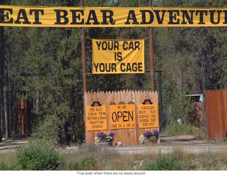
After breakfast we headed to the park. You should always keep your camera ready because you just never know what you’re going to see. I saw this sign and although I didn’t have my camera out, I found a picture on the internet so I can share it with you anyway.
 The Park itself is really indescribable and I don’t think we were even there at the optimum viewing time. I can only imagine how much more colorful it would be in the fall or how much more spectacular it would be in the spring. Even so, it was awesome as it was.
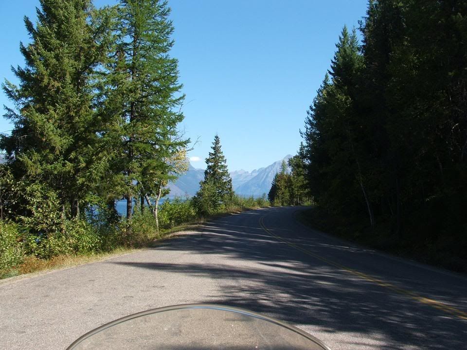
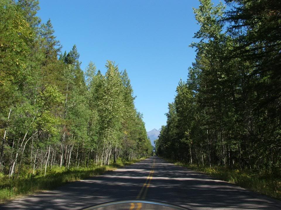
The road into the park was its own kind of beauty:
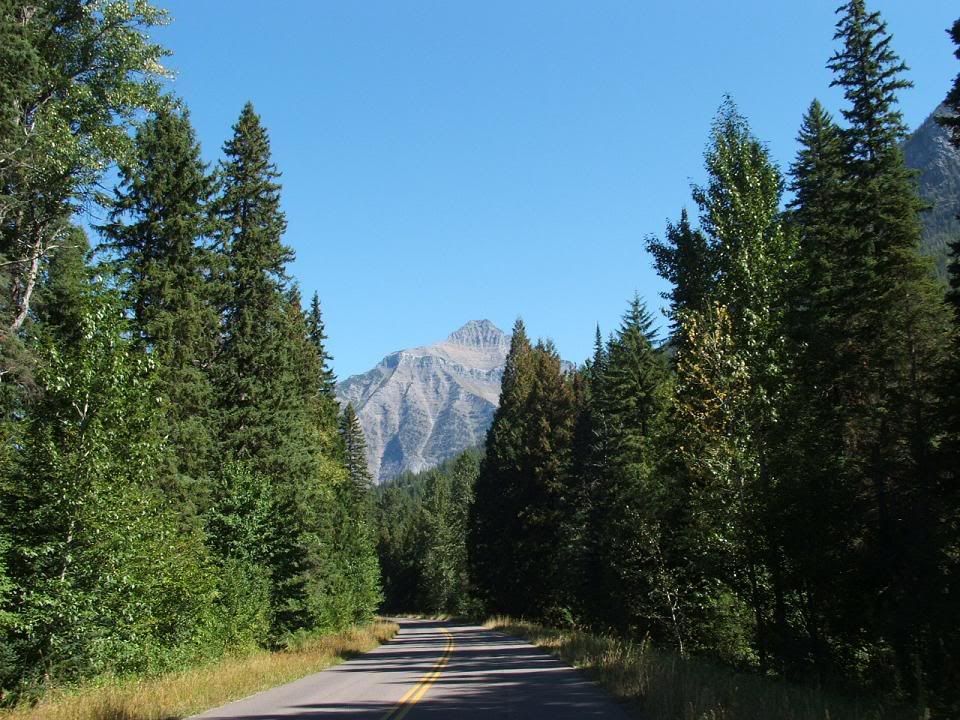
Then the scenery once you got in was spectacular:
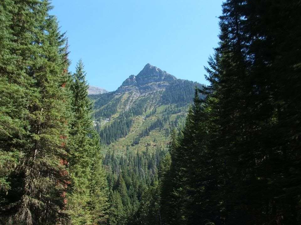
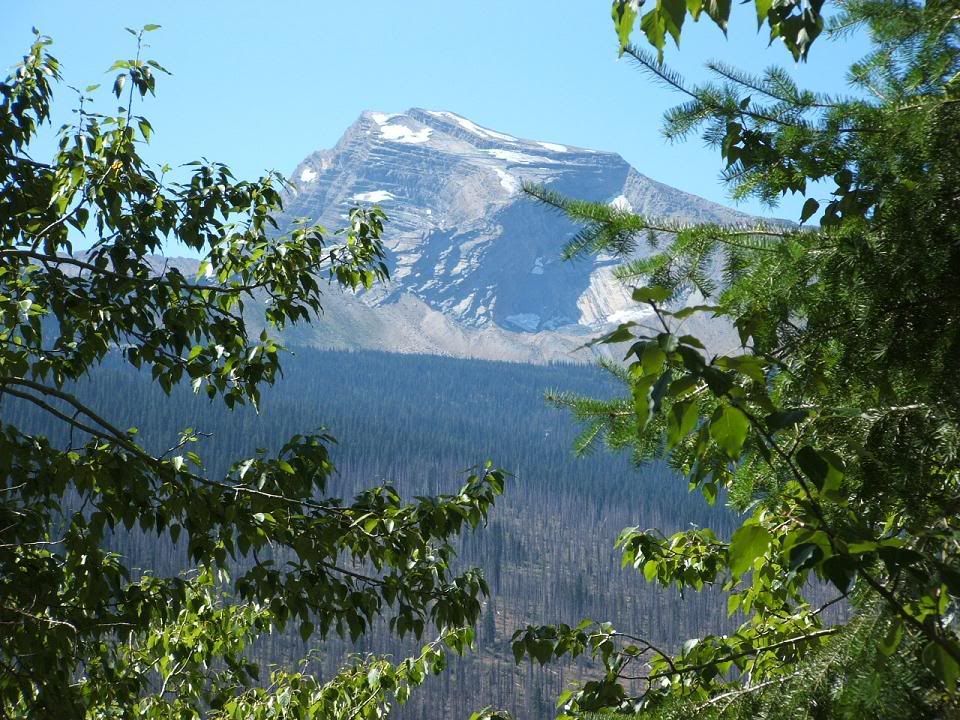
We had barely started up the pass when we were stopped for road work. At least they told us there was going to be a thirty minute delay so we could shed some gear and relax. There was a trio of Harley riders from Kalispell in front of us that were out for a day ride. So we passed the time talking to them about the local biking climate. They were out for one last ride, getting ready to put there bikes away for the winter! I shudder at the thought.
When we got moving again the line of traffic in front of us due to the hold up made enjoying the climb rather difficult, so I pulled over and waited for every one to go by.
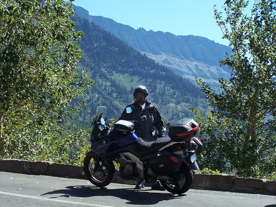 Soon it was clear sailing again.
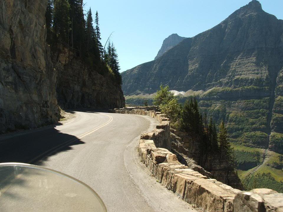
At the top of the pass there was a parking lot, a book store/museum, a bathroom, and a drinking fountain along with signs just about everywhere explaining almost everything, and just incase that’s not enough, there are Park Rangers on duty to answer your questions. You could spend all day at the top and still not know everything there is to know about that area.
I was surprised to learn that the pass was only about 400 ft higher than my house. The landscape is a lot different up north.
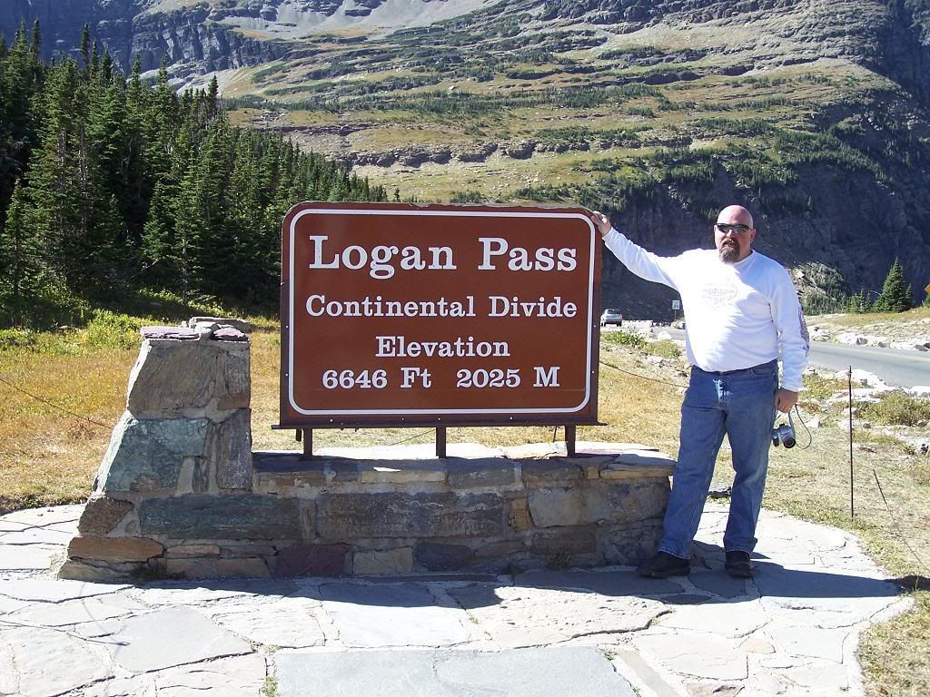
There are several trails that lead to various places within the park. We (Carlton and I) were standing at one of the trail heads that headed straight up the side of the mountain from the pass. There was no sign indicating where it went or how far away it was or what was at the end or if it even had an end. There was just a trail going pretty much straight up (OK, it zigzagged a bit.)
Carlton was looking up that trail longingly so I finally said, “If you want to head up that trail don’t let me stop you. I’m sure I can find plenty to entertain me around here until you get back.”
“Well, maybe I’ll head up a little ways and see where it goes.”
“Yeah, whatever. I’ll hang out here.”
Of he goes up the trail, I head back down to the bike to apply some more sunblock because the sun was pretty fierce and I hadn’t put any on since that morning. On the way I over hear the ranger telling this couple that just down the other trail, there is a family of mountain goats up on the side of the cliff face.
I decided to fill up my water bottle and head “down” the other trail for apicture of the goats. “Down” being the key word. Now I know that every step down is a step I have to take back up but that’s different than an unknown number of steps up to who-knows-what. Plus, I could turn around at any point and know exactly how far up I would have to climb to get back.
On the way to fill up my water bottle, I ran into the sign for the trail Carlton was on. It was 1.5 miles to the hidden lake overlook and 3 miles to the lake itself. I figured I had time for my goat expedition. It was only about a half a mile down the trail to the goats.
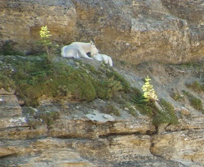
By the time I got back to the parking lot. I figured Carlton would almost be to the over look where he would probably take some pictures then head back. I figured if his heart was still beating he was probably thirsty because I know he didn’t take any water and the heat and altitude will trick you flatlanders so I headed up the trail with a new refill figuring to meet him on the way down.
I was almost to the halfway point when we met and he was real appreciative of the water I’d brought from him.
Here’s what he saw at the top:
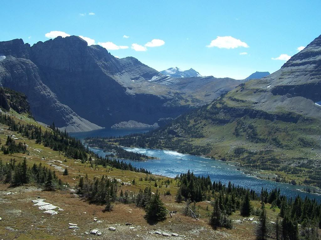
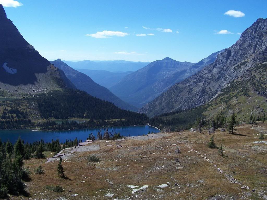 Oh, and this guy:
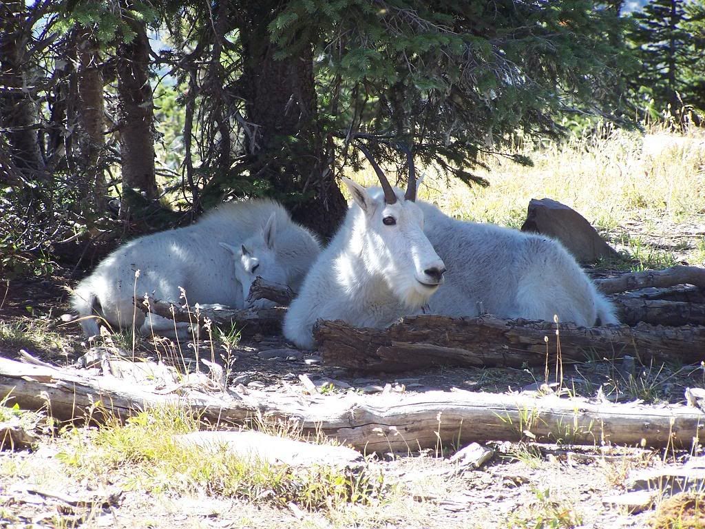
I, seeing no need to continue to the top, joined Carlton in his descent.
This has to be a record for a motorcycle trip. In almost 6 hours we had covered about 50 miles and still had 150 to go.
We saddled up and headed down the east side of the pass.
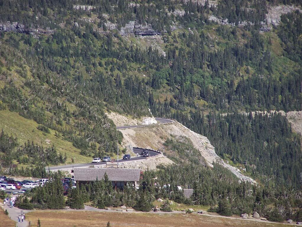
The way down was as magnificent as the way up. We stopped to take some more pictures. At one point Carlton parked his bike in one of the pull-outs and head down the side of the road to get a picture of a water fall from right underneath it. He lost his footing, very easy to do when walking on an uneven surface in a full face helmet, and nearly fell down the side of the mountain. He was too far away for me to yell a warning and he was probably fully aware of what had just happened so I did the only sensible thing, I got my camera ready incase he did it again.
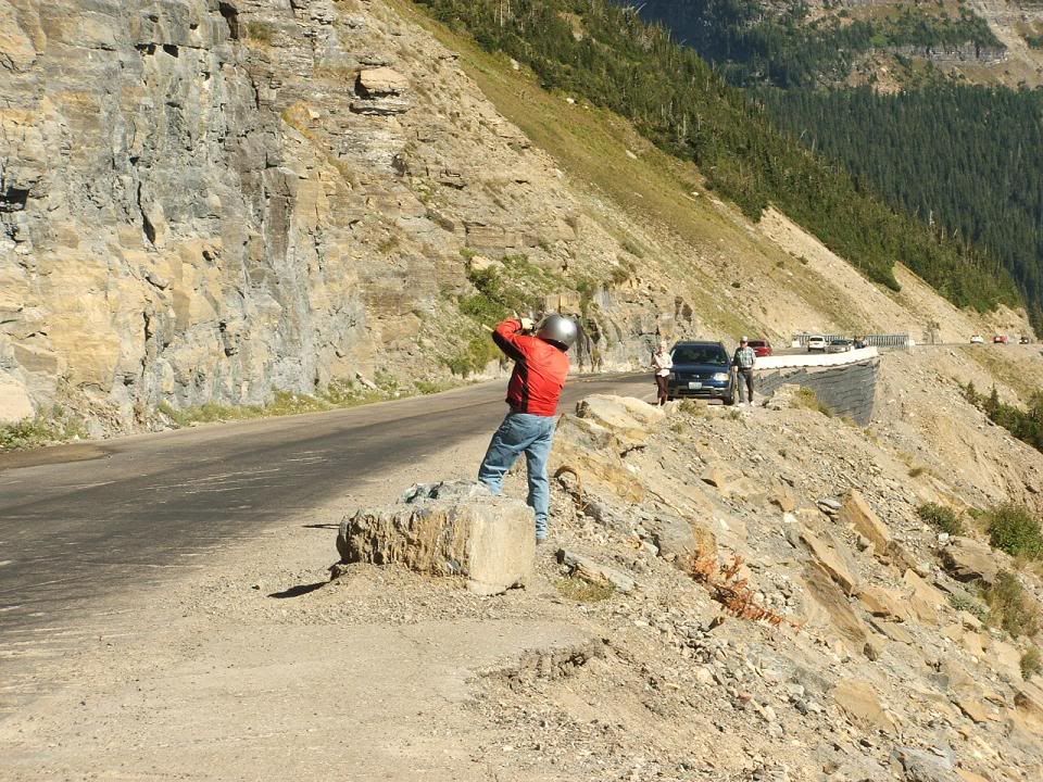
This is the shot he got:

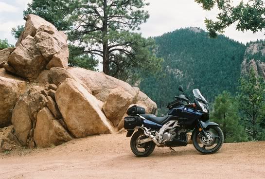
We took over 800 pictures between us on this trip and most of them on this day. As tempting as it is to put them all here, I can’t. It is incredibly difficult to choose which ones to post so I hope you like these:
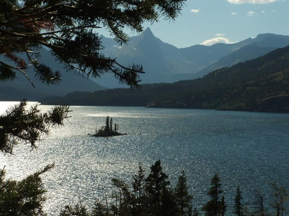
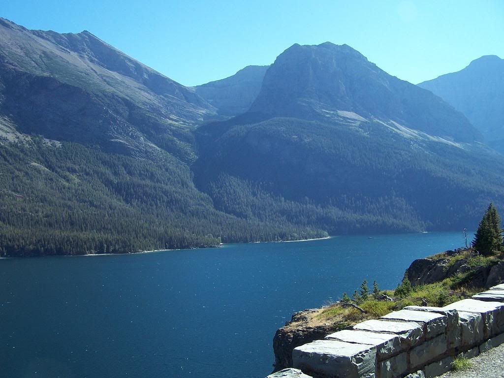
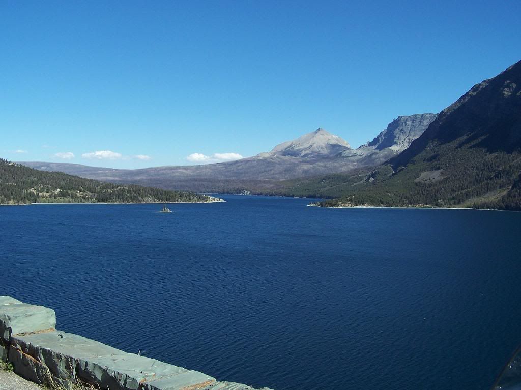
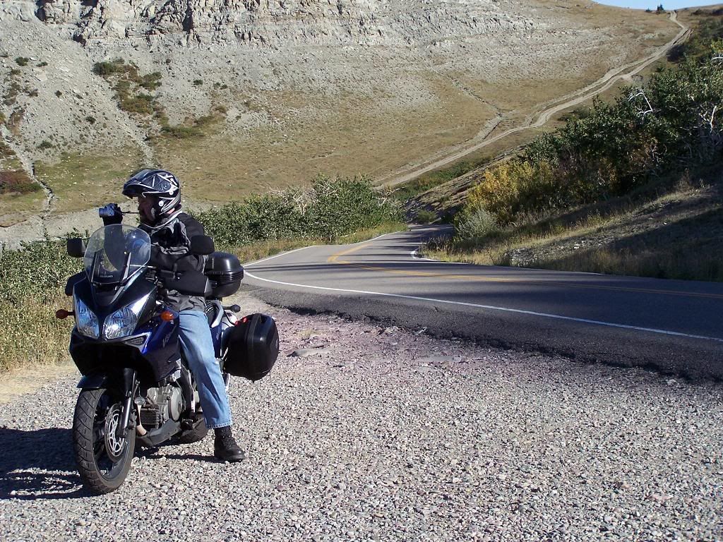
We saved the park sign for last because there was a line of people at the west entrance waiting to get their picture in front of the sign and I knew there would be another one at the other end.
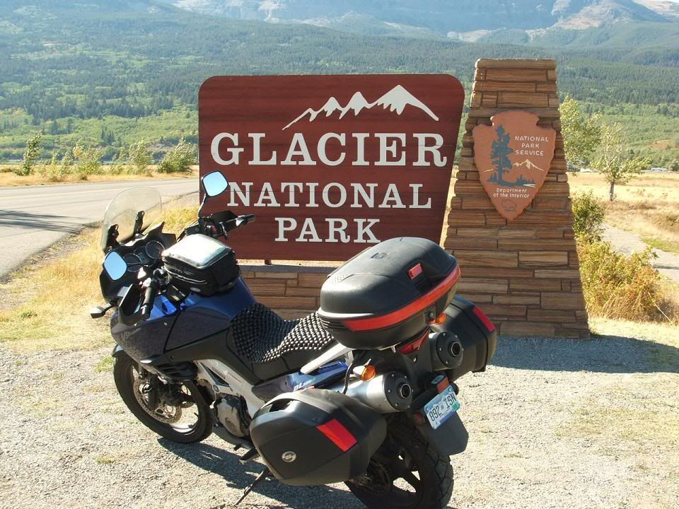
At this point I thought the day was pretty much done and we were just going to head back to the hotel and get ready for tomorrow. Little did I know…
Hwy89 south out of Glacier National Park is one of the best roads of the trip. Sorry, no pics. It’s a high speed, two hands kind of road. We turned on to 49 (Looking Glass Hill Road) at Kiowa and went over the hill (we would call it a mountain). This road is on a Blackfeet Indian reservation and is closed in the winter and not very well maintained. When the sign says loose gravel on road, what it means is “loose gravel road”. That’s a bit of a surprise the first time but I got used to it.
On the other side of the pass we hooked up with hwy2 and took that around the south side of the park and back toward Kalispell.
We stopped for fuel (I know, it’s the Valk, it can’t even make a simple little day trip without stopping for gas) just short of Hungry Horse and I asked a customer at the pumps if there was a good place to eat close by and he recommended one so we headed out to the Elk Horn Grill.
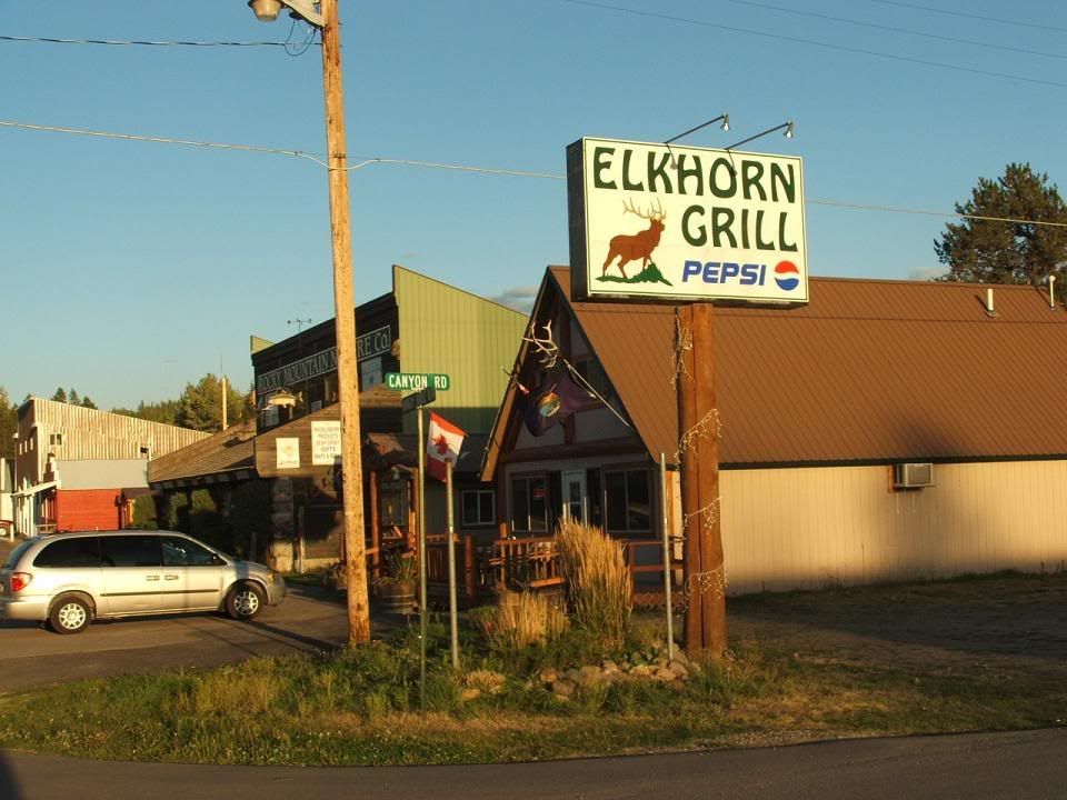
While we were there, there was a little guy that was absolutely fascinated by the motorcycles in the parking lot. He kept going over to the window and starring at them and insisting to his mother that there were motorcycles.
“Mama! Motorcycles!”
“Mama! Motorcycles!”
“Mama! Motorcycles!”
“Mama! Motorcycles!”
“Mama! Motorcycles!”
“Mama! Motorcycles!”
“Yes honey, there are motorcycles.”
“Mama! Motorcycles!”
“Mama! Motorcycles!”
“Mama! Motorcycles!”
“Mama! Motorcycles!”
“Mama! Motorcycles!”
“Mama! Motorcycles!”
“Yes honey, there are motorcycles.”
She had more patience than I did. As we were leaving, I offered to let the little guy sit on my bike and his parents readily agreed. Gabriel, as it turns out was not as enthusiastic about actually touching one though. With some prodding from dad he did try it though.
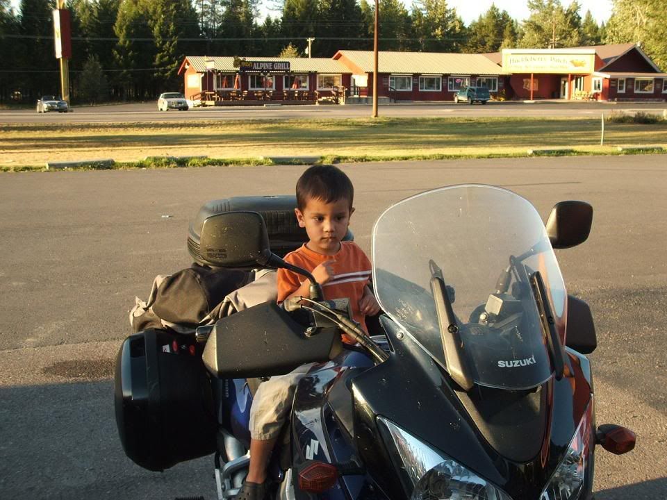
The food and service at the Elk Horn Grill are excellent and I would recommend it to anybody.
Later that evening as we were cleaning the bugs off our bikes and enjoying an ice cold beverage my phone spoke. I say spoke because it’s more accurate than rang or chirped etc. I have it programmed to notify my in different ways for different things. For example, when I get a text message it plays a clip from Monty Python that starts with the sound effect of an arrow hitting a board and vibrating then some one saying “Message for you sir.” When I get and e-mail, Tweety Bird says, “What’s this, a letter for me?” Well, Tweety spoke so I pulled my phone out to read my e-mail and spewed beer all over the parking lot when I read Jason’s e-mail: He said to tell Carlton sorry about the Valk but he had gone to look at a V-Strom. I laughed pretty good at that. It was great way to top of a great day.


No comments:
Post a Comment